- Location
- Letcher Counter, Kentucky
- Offices
-
-
Client
-
-
Kentucky Division of Water
-
- Location
- Letcher Counter, Kentucky
- Offices
- Client
-
- Kentucky Division of Water
Share
Flood Prediction for Eastern Kentucky
In July 2022, 45 people died in eastern Kentucky because of historic flooding caused by intense rainfall. The mountainous region of the state is susceptible to flash flooding due to its steep slopes and narrow valleys. In addition to the loss of life, the area also experienced significant damage to vital infrastructure.
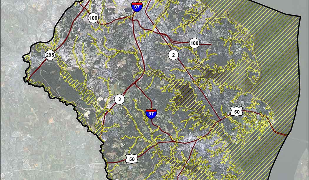
This region was already very vulnerable—Letcher County has a poverty rate 150% higher than the national average. To help protect these communities from future flood disasters, we’ve partnered with the Kentucky Division of Water to develop an online portal to enhance the region’s flood resilience efforts. The portal provides flash flood inundation, depth, and probability mapping data.
Real-time weather and user-defined results can now be delivered in minutes, which allows local governments and emergency management officials to make faster and more informed decisions. The portal is supported by Flood Predictor, our digital solution which applies machine learning flood-risk technology to the Federal Emergency Management Agency’s Risk Mapping, Assessment and Planning (Risk MAP) data.
Now in place, the portal is helping to improve flood risk and overall resilience within Eastern Kentucky.
- Location
- Letcher Counter, Kentucky
- Offices
-
-
Client
-
-
Kentucky Division of Water
-
- Location
- Letcher Counter, Kentucky
- Offices
- Client
-
- Kentucky Division of Water
Share
Katherine Osborne, Senior Associate, Business Development
Helping people stay safe is a privilege. I’ve seen firsthand our work make a difference in disaster and response and resilience planning.
Susan Marlow, Director, Client Services
I enjoy seeing digital transformative results in the communities we serve by connecting our engineers and scientists to solve client problems.
Jeff Albee, Vice President, Director of Digital Solutions
The world is changing at a rapid pace, and traditional methods can’t deliver like they used to. That’s where Stantec.io comes in.
Brandy Little, Product Manager
I’m fortunate to work for a company that values innovation. We’re encouraged to solve complex problems with creative solutions.
We’re better together
-
Become a client
Partner with us today to change how tomorrow looks. You’re exactly what’s needed to help us make it happen in your community.
-
Design your career
Work with passionate people who are experts in their field. Our teams love what they do and are driven by how their work makes an impact on the communities they serve.


