Geographic Information Systems
Efficiency and resilience through solid data
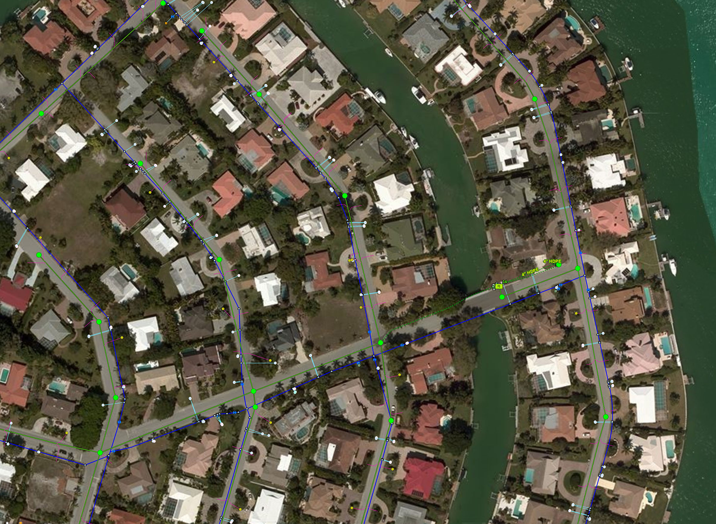
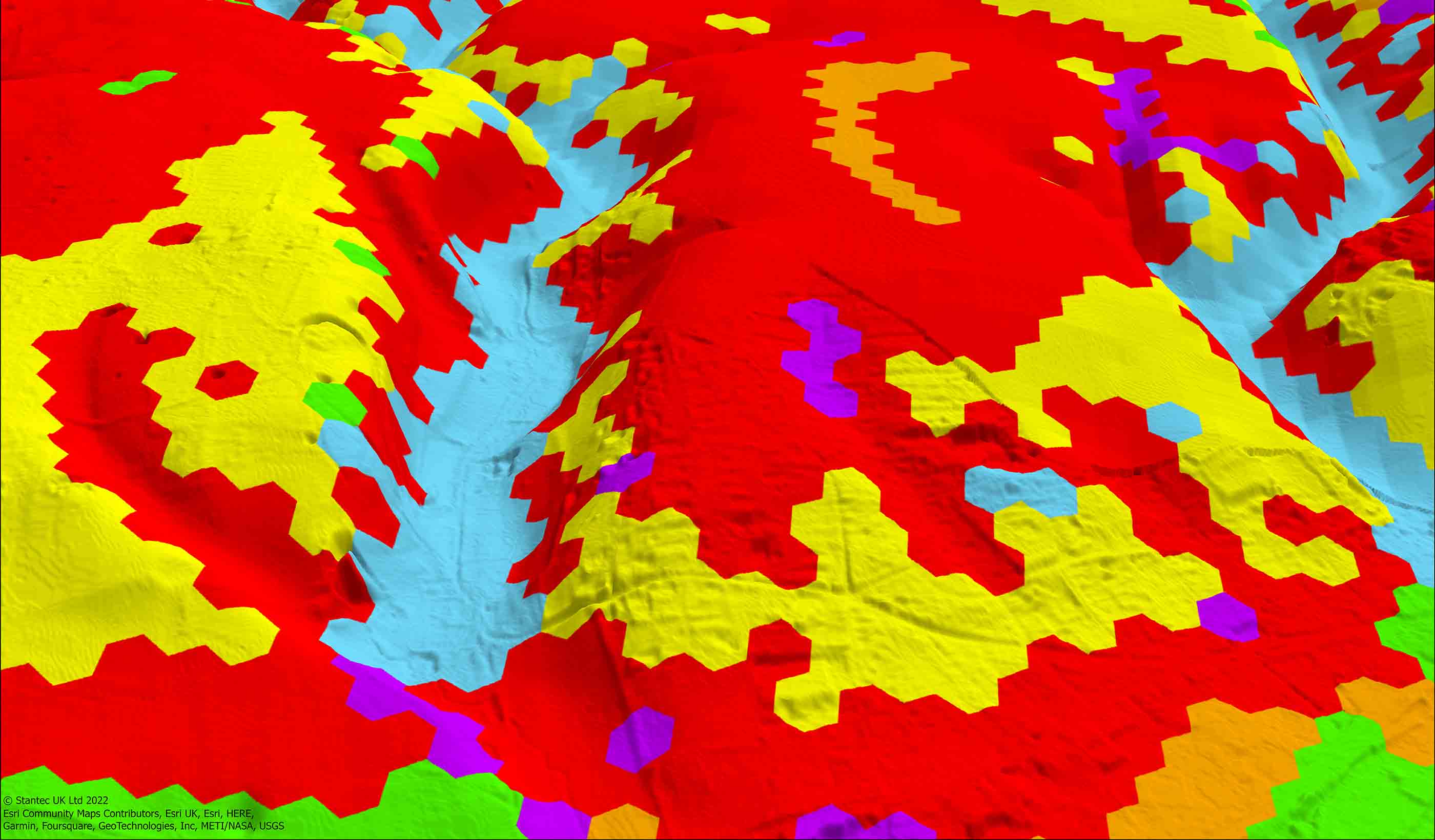
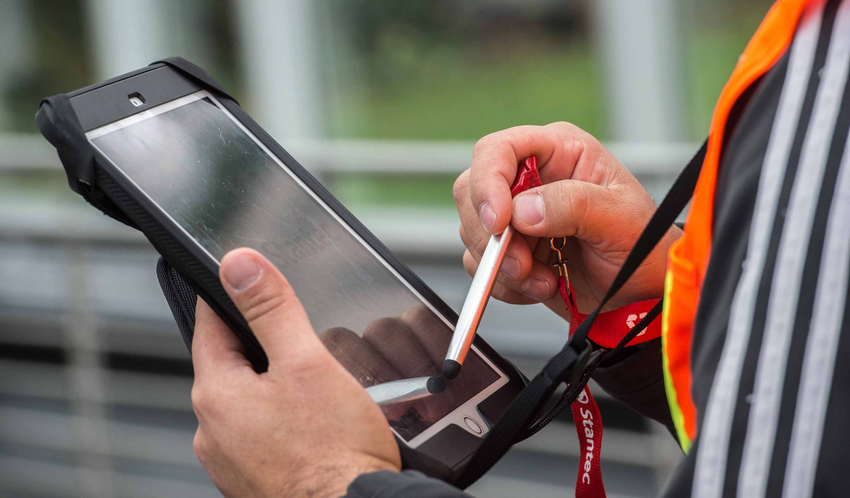
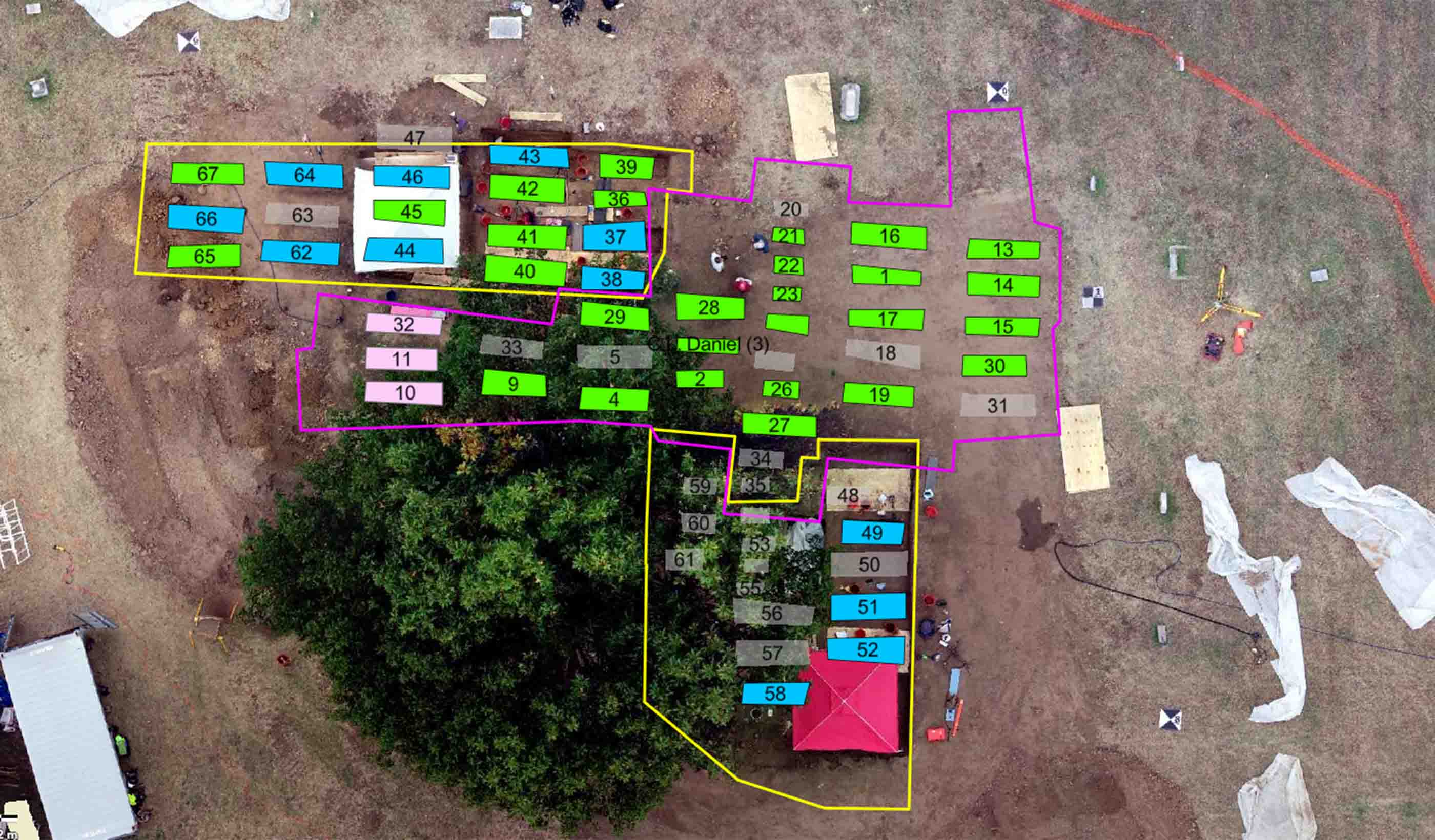
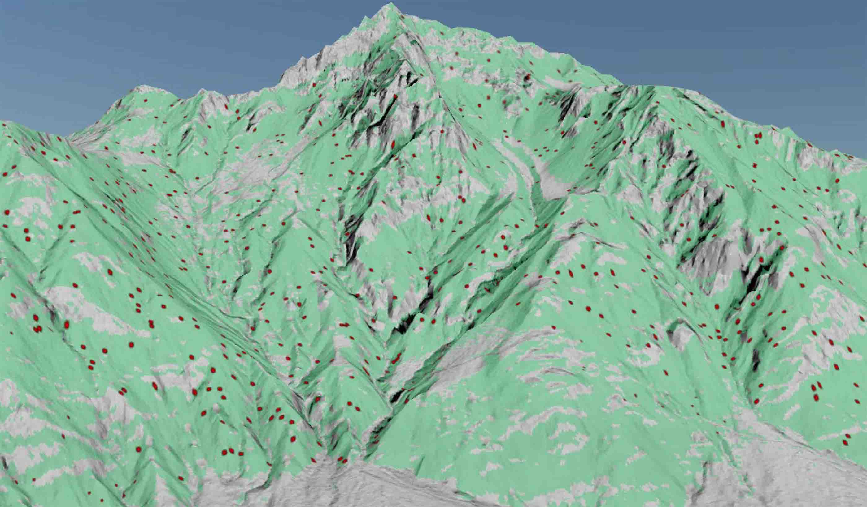
Geographic information systems (GIS) help us gather, analyze, and visualize geographic data to enable smart decision-making. Our GIS professionals provide these services and solutions—from field data collection, web maps, and dashboards to 3D visualizations, spatial analysis, and remote sensing—to our clients every day. And those efforts make a difference in our communities across the globe.
We use a variety of tools to effectively analyze data and communicate results through maps, web portals, summary tables, graphs, and charts.
GIS plays a major role in how we can help you, our clients and communities, solve some of your most difficult challenges. With an evolving suite of GIS-based digital solutions, we’re helping you improve efficiency, sustainability, resilience, and more.
A valued partnership
We’re proud to be an Esri Gold partner. This partnership underscores our commitment to deliver industry-leading solutions and services using Esri location intelligence technology.ArcGIS ready
As an Esri partner, Stantec holds both the ArcGIS System Ready and Utility Network Management specialty designations. This creates a clear path for utilities in the water and wastewater sectors to engage us as a trusted partner, a team that can support migration to the ArcGIS Utility Network. Read MoreOur People
-

Nick Faust
Senior Geospatial Technology Analyst
-

Courtney Maxson
Senior Associate, GIS Geospatial Lead
-

Cory Bolen
GIS Discipline Manager
-

Manuel Perez
Principal, GIS Manager
-

Charlotte Dawson
GIS Team Leader
-

Cristian Graf
GIS, Data Management Specialist
-

David Giblin
Senior GIS Analyst
-

Elizabeth Duong
Geomatics, GIS, and Cartography Specialist
-

Matt Witosky
Senior Associate, GIS Manager
-

Mathieu Arcand
Senior Associate, GIS and Data Management
-

Jordan Shuck
Associate, Senior GIS Specialist
-

Bret Whiteley
Technical Discipline Leader, Geospatial (US)
-

Sean Earles
Associate, Technical Discipline Leader, Geospatial (Canada)
We’re better together
-
Become a client
Partner with us today to change how tomorrow looks. You’re exactly what’s needed to help us make it happen in your community.
-
Design your career
Work with passionate people who are experts in their field. Our teams love what they do and are driven by how their work makes an impact on the communities they serve.


