- Location
- Larimer County, Colorado
- Offices
-
- Location
- Larimer County, Colorado
- Offices
Share
Cameron Peak Fire Debris Flow Risk Assessment
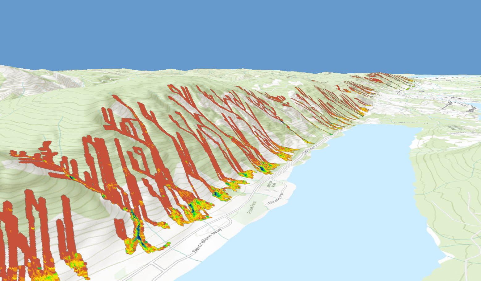
The Cameron Peak Fire burned 84,443 hectares of land in Larimer County, Colorado. This fire, like others around the world, creates a new threat of post-wildfire debris flows and floods to residents and infrastructure downslope of the burn area. The Larimer County Office of Emergency Management approached us to quantify the hazard and risk to residential houses in the area.
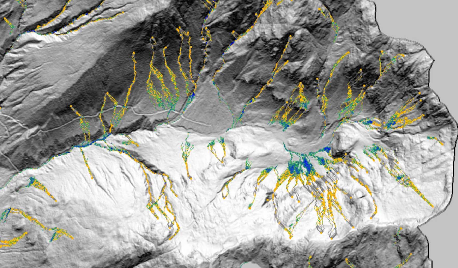
Using DebrisFlow Predictor, our Colorado Geohazards team developed a regional model for several of the most severely burned watersheds in Larimer County. Results from the model provided the client with inundation, depths, and volumes for debris flows that could impact homes within the county. Our scientists and engineers collaborated to produce designs for the properties impacted. The model was tested against an actual debris flow that occurred just outside our study area and accurately predicted the extents and depths of the debris flow—clearly demonstrating its effectiveness for predicting future debris flows.
Here at Stantec, we’re committed to reducing the impact of debris flow hazards for the betterment of all, including the communities in Larimer County.
- Location
- Larimer County, Colorado
- Offices
-
- Location
- Larimer County, Colorado
- Offices
Share
Richard Guthrie, Vice President
Geohazard innovation is about designing new, novel, and safe solutions that benefit clients, project teams, and our field of work.
Thad Wasklewicz, Principal, Geohazards and Geomorphology
Collaborating regularly with our communities provides a clear understanding of how we can proactively prepare for future geohazards.
We’re better together
-
Become a client
Partner with us today to change how tomorrow looks. You’re exactly what’s needed to help us make it happen in your community.
-
Design your career
Work with passionate people who are experts in their field. Our teams love what they do and are driven by how their work makes an impact on the communities they serve.


