- Location
- British Columbia
- Offices
-
- Location
- British Columbia
- Offices
Share
Cowichan Valley Regional District (CVRD) Coastal Slope Assessment
Our client, the Cowichan Valley Regional District (CVRD), following the guidance and standards of Engineers and Geoscientists of British Columbia, established hazard acceptability thresholds for development approvals. The approvals considered the type of development, type of risk, and possible remediation measures for lands under their jurisdiction. Because of these standards, CVRD asked our team to examine the extent of coastal landslide hazards that could impact the community of Saltair.
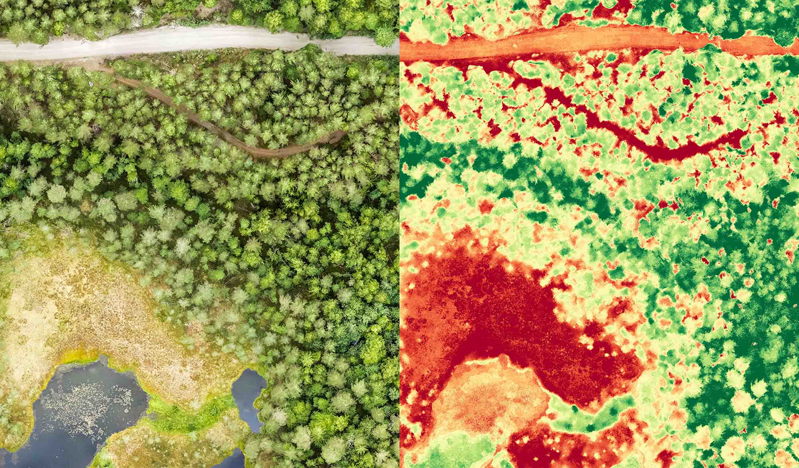
Using LiDAR-based landslide mapping and morphometrics, our Geohazards team determined an appropriate hazard zone that captured the landslides and identified portions of the community that could be affected by future (similar) hazards. To help better understand the hazards, we introduced a mathematical approach that reduced uncertainty about the likelihood of new landslides. The results help explain why most of these landslides were not previously recognized and why so many of them are mappable now.
Humans build structures to last, and communities that occupy those structures persist longer than even a few decades. Densification (subdividing land to allow for more structures, people, and occupation) without providing some measure of protection to future residents and generations fundamentally increases the potential consequences of a hazard. CVRD’s proposed new hazard zone represents their commitment to the ongoing safety of the community.
- Location
- British Columbia
- Offices
-
- Location
- British Columbia
- Offices
Share
Richard Guthrie, Vice President
Geohazard innovation is about designing new, novel, and safe solutions that benefit clients, project teams, and our field of work.
We’re better together
-
Become a client
Partner with us today to change how tomorrow looks. You’re exactly what’s needed to help us make it happen in your community.
-
Design your career
Work with passionate people who are experts in their field. Our teams love what they do and are driven by how their work makes an impact on the communities they serve.


