- Location
- Ontario
- Offices
-
- Location
- Ontario
- Offices
Share
Screening and Mapping Assessment for Pipeline Integrity
If pipelines are in the news, safety is often the topic. So, when our client wanted to know and understand potential geohazards along a 290-kilometer pipeline route in Ontario—they called upon our remote sensing experience to conduct a geohazards screening and mapping assessment. For this project, geotechnical and hydrotechnical hazards, collectively referred to as geohazards, included landslides, erosion (gully) sites, karst (soluble rock formations), and watercourse crossings.
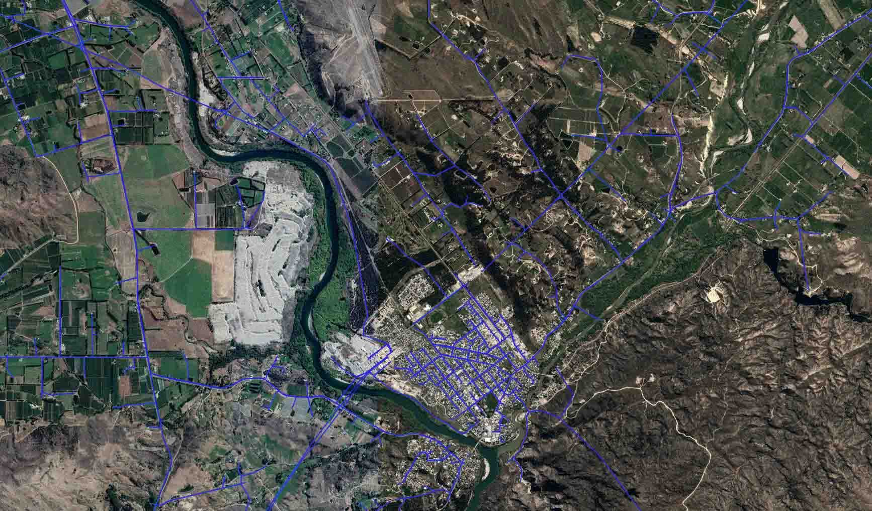
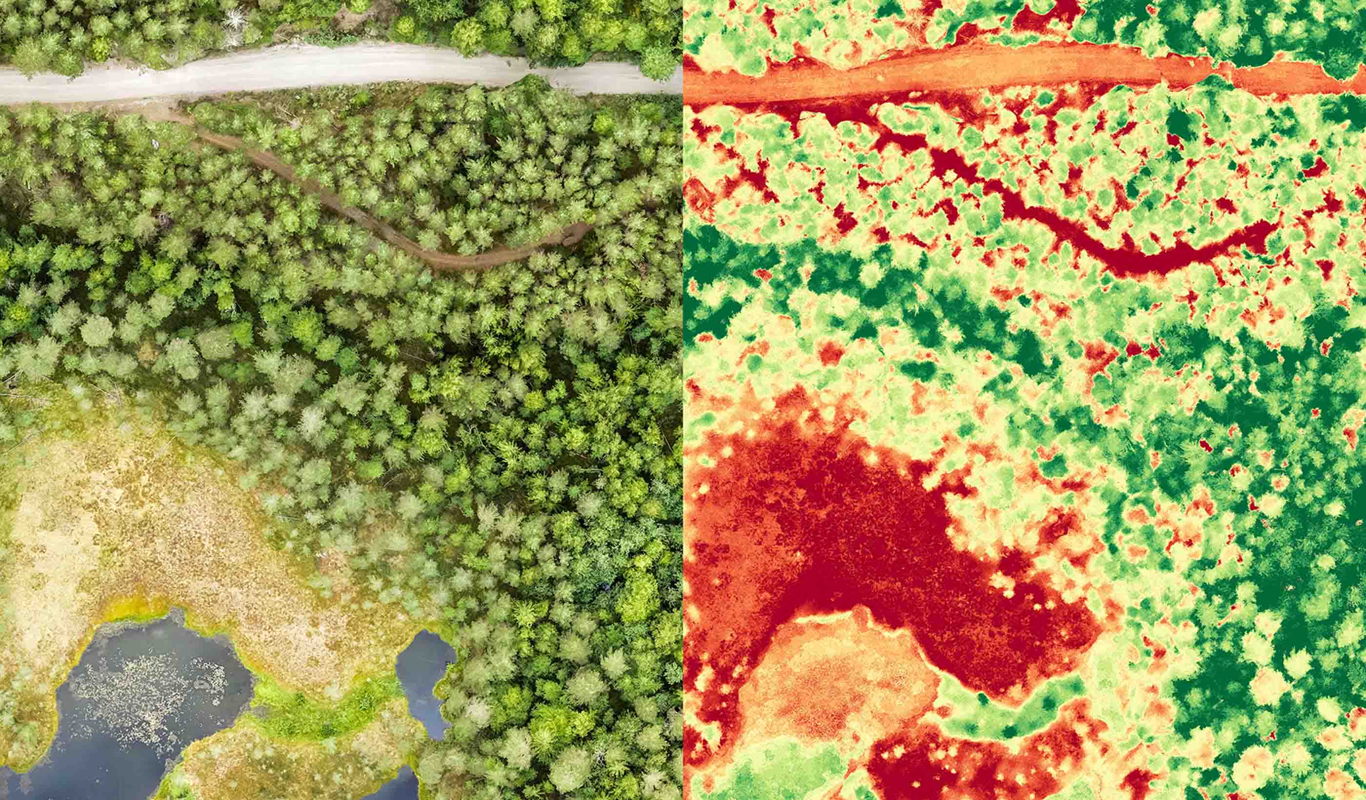
Our team applied GroundWATCH, which leverages satellite based Interferometric Synthetic Aperture Radar (InSAR), along with high-resolution imagery, and Light Detection and Ranging (LiDAR) derived bare-earth digital elevation models to identify, delineate, and prioritize potential geohazards along the pipeline’s alignments.
Using this mix of earth observation technologies, we identified over 400 potential geohazard locations along the pipeline alignments, and all high priority sites were recommended for field inspection.
- Location
- Ontario
- Offices
-
- Location
- Ontario
- Offices
Share
Grant Wiseman, Remote Sensing Technology Manager
Success in consulting means communicating new ideas to clients, demonstrating the benefits of technology in a clear and concise way.
Richard Guthrie, Vice President
Geohazard innovation is about designing new, novel, and safe solutions that benefit clients, project teams, and our field of work.
We’re better together
-
Become a client
Partner with us today to change how tomorrow looks. You’re exactly what’s needed to help us make it happen in your community.
-
Design your career
Work with passionate people who are experts in their field. Our teams love what they do and are driven by how their work makes an impact on the communities they serve.


