Geospatial
Make the right decision
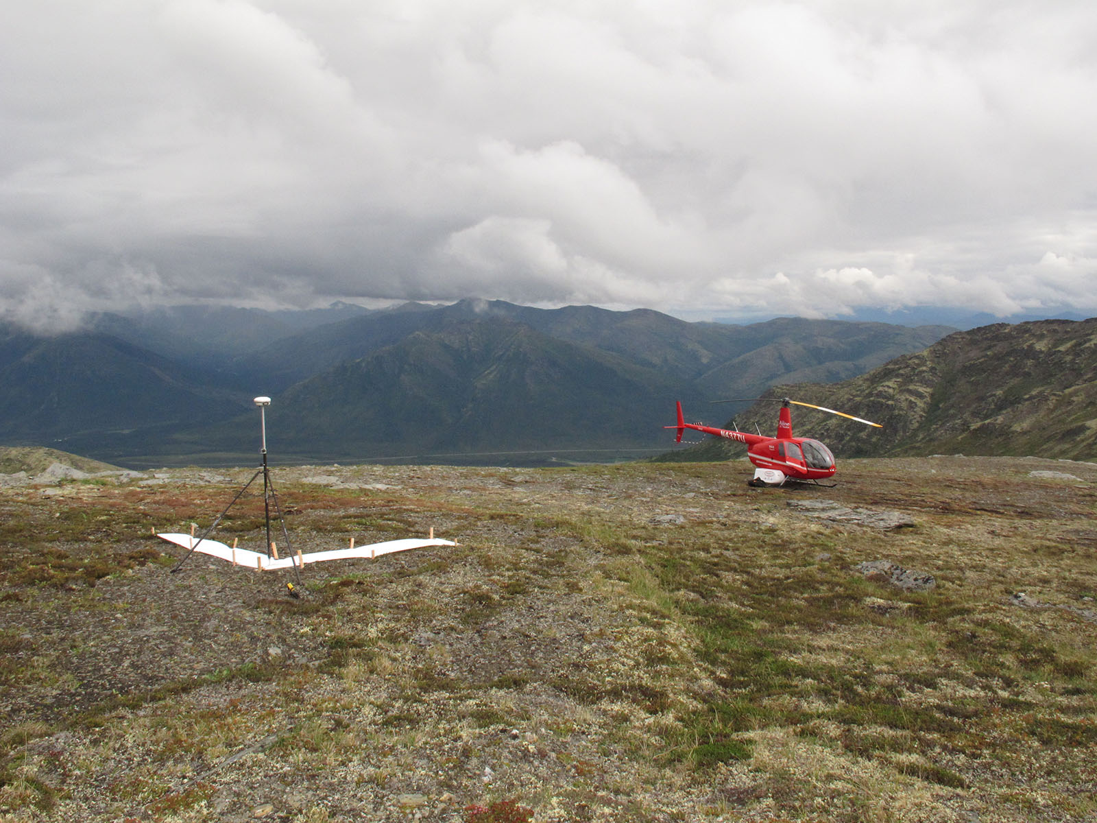
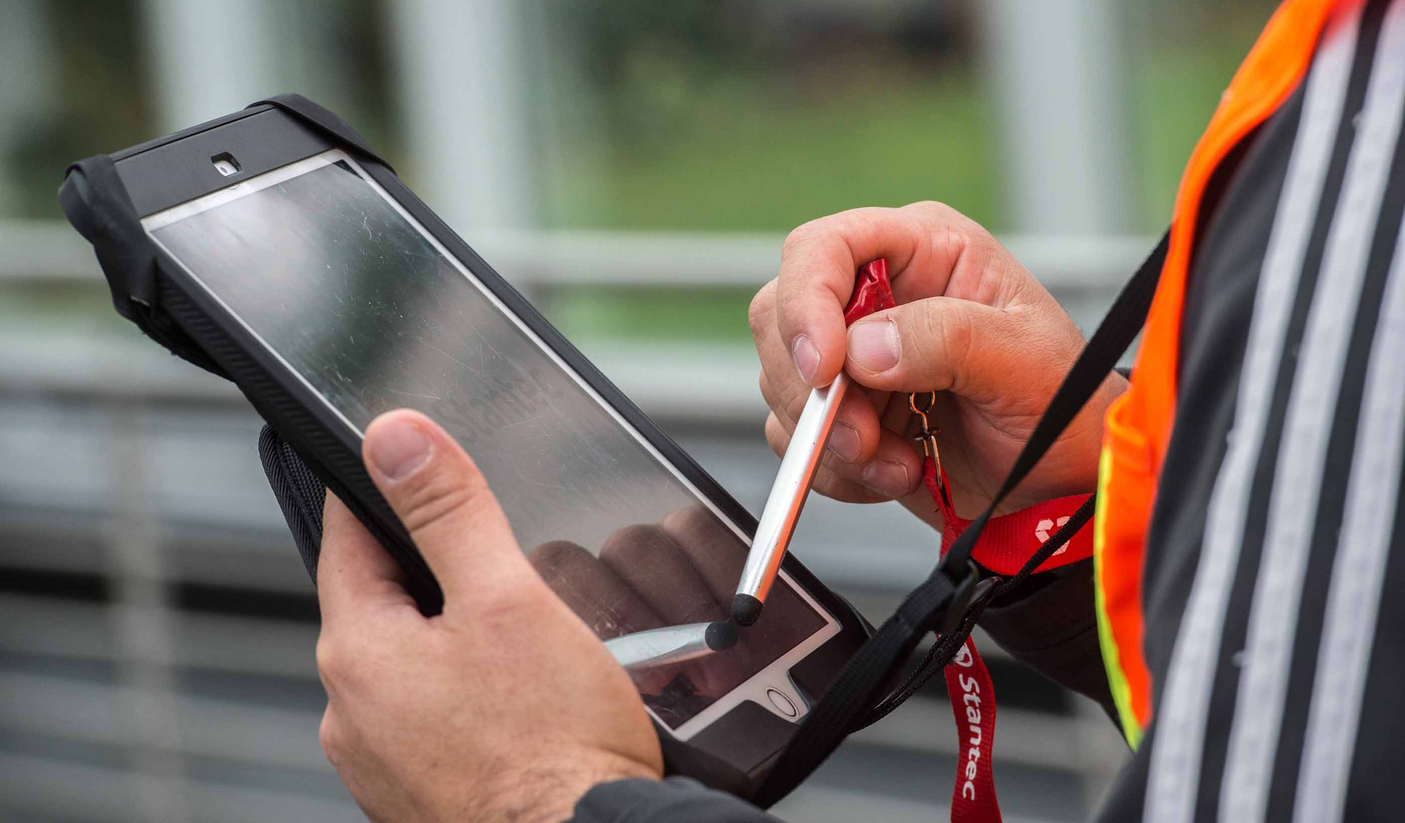
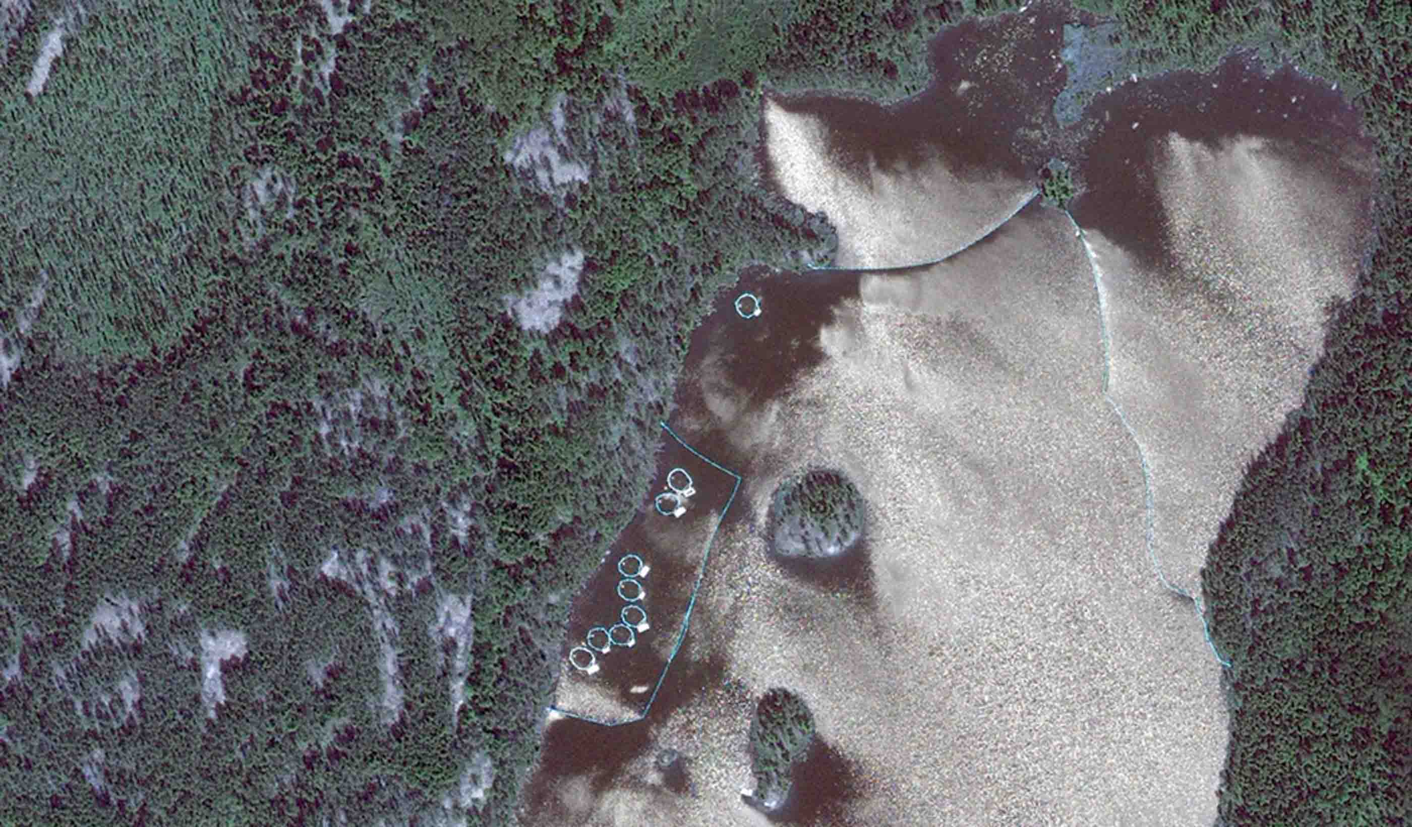
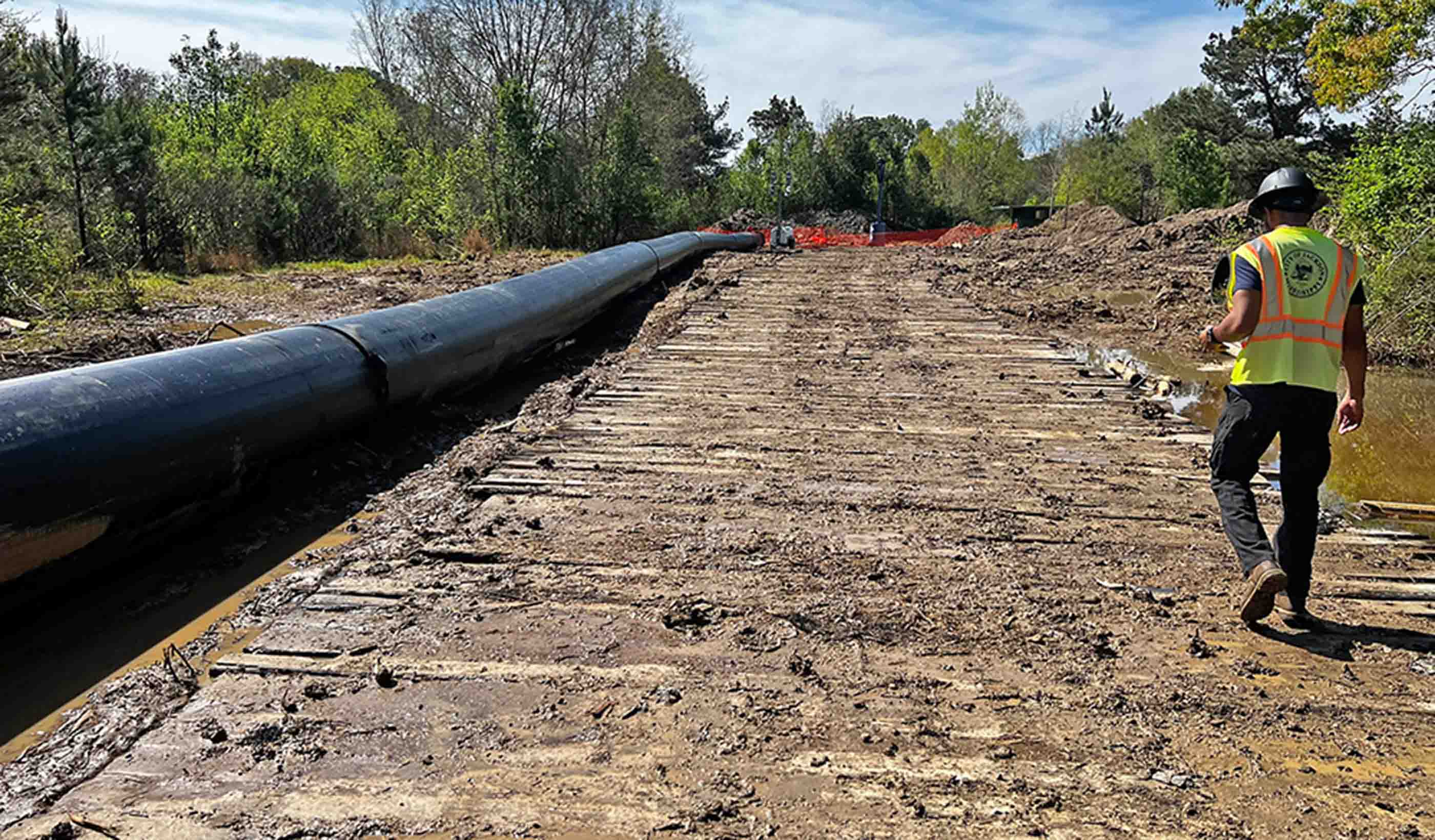
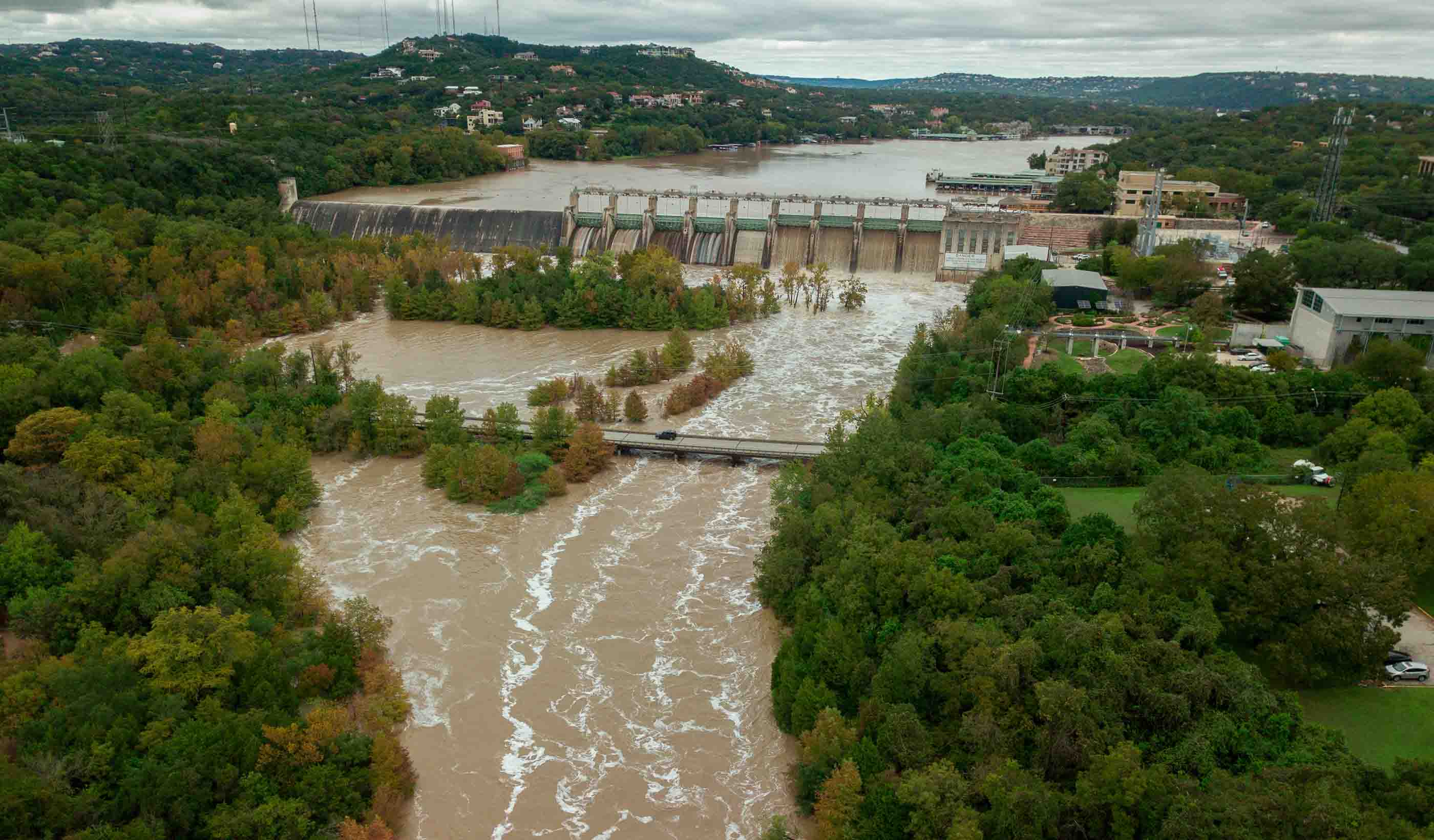
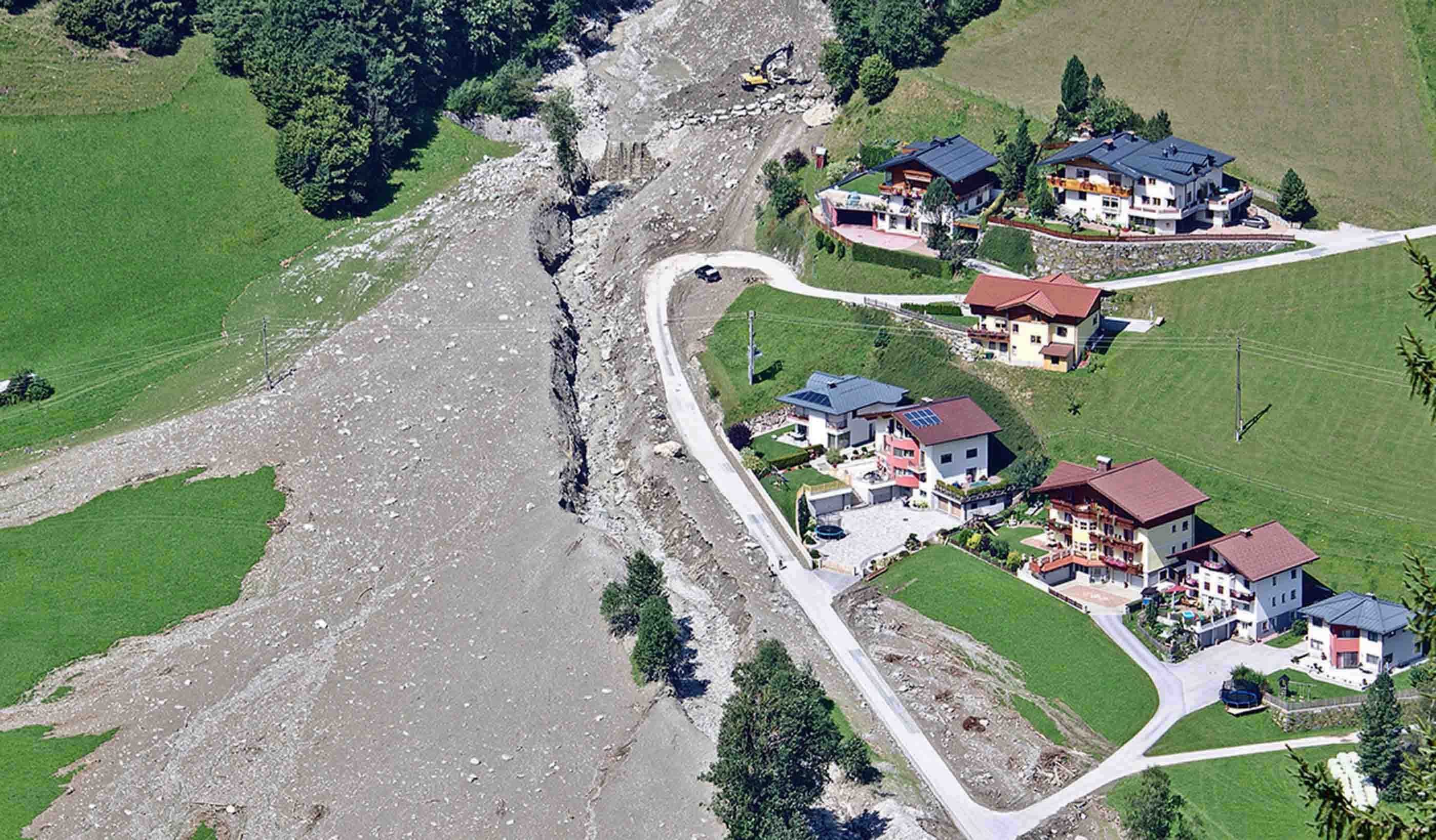
Change can happen rapidly, and that means decisions must be made with a high degree of speed, accuracy, and efficiency. Hesitation can leave you behind. Geospatial data is the cornerstone of informed decision-making.
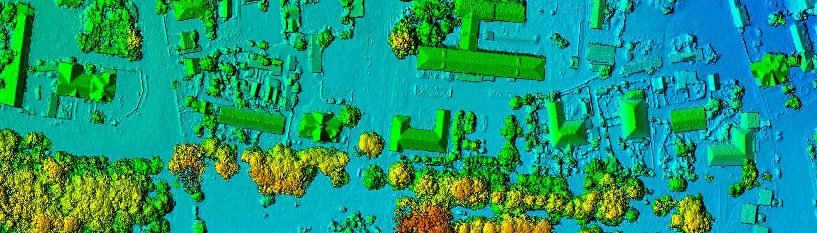
At Stantec, we’ve harnessed the potential of geospatial technology—from drones and digital twins to location intelligence and spatial design—to provide you with data-driven solutions and insights that help you navigate increasingly complex landscapes.
Our global team marries their decades of experience with technical expertise to deliver a robust suite of geospatial services. From remote sensing to 3D modeling to spatial analytics, we have the expertise to meet your unique project requirements.
Whatever your industry, our geospatial solutions empower you to visualize, analyze, and strategize with confidence.


Our People
-

Matt Wagoner
Senior Principal, Geospatial Technology Leader
-

Cory Bolen
GIS Discipline Manager
-

Sean Earles
Associate, Technical Discipline Leader, Geospatial (Canada)
-

Bret Whiteley
Technical Discipline Leader, Geospatial (US)
-

Clint Johnson
Principal
-

Timothy Rink
Principal, Geospatial Discipline Leader
-

Amy Steiger
Geospatial Discipline Lead, ANZ


Stantec.io Digital Services
We’re better together
-
Become a client
Partner with us today to change how tomorrow looks. You’re exactly what’s needed to help us make it happen in your community.
-
Design your career
Work with passionate people who are experts in their field. Our teams love what they do and are driven by how their work makes an impact on the communities they serve.