Start of main content

How drones are transforming mine closure and rehabilitation

September 27, 2024

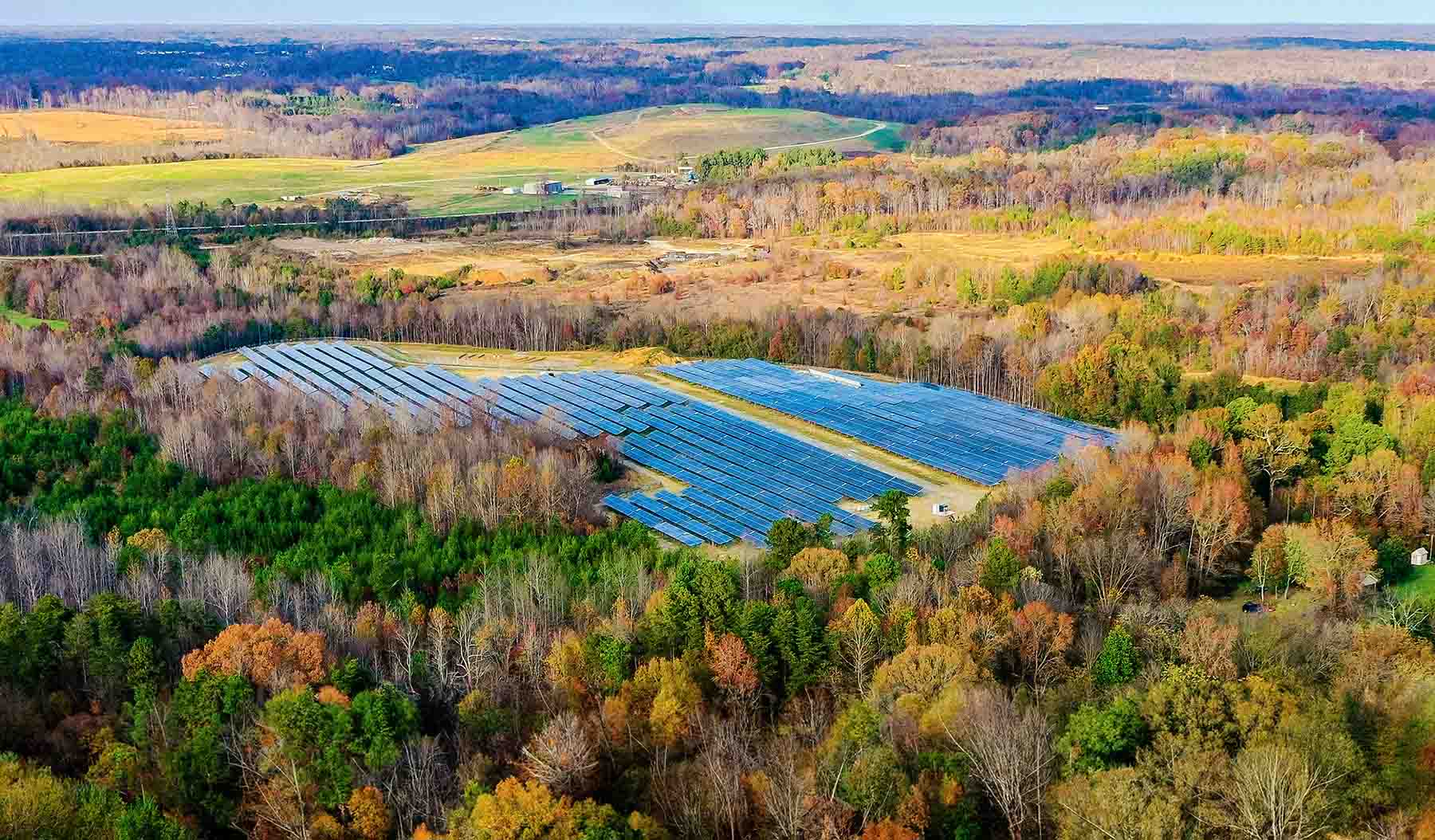
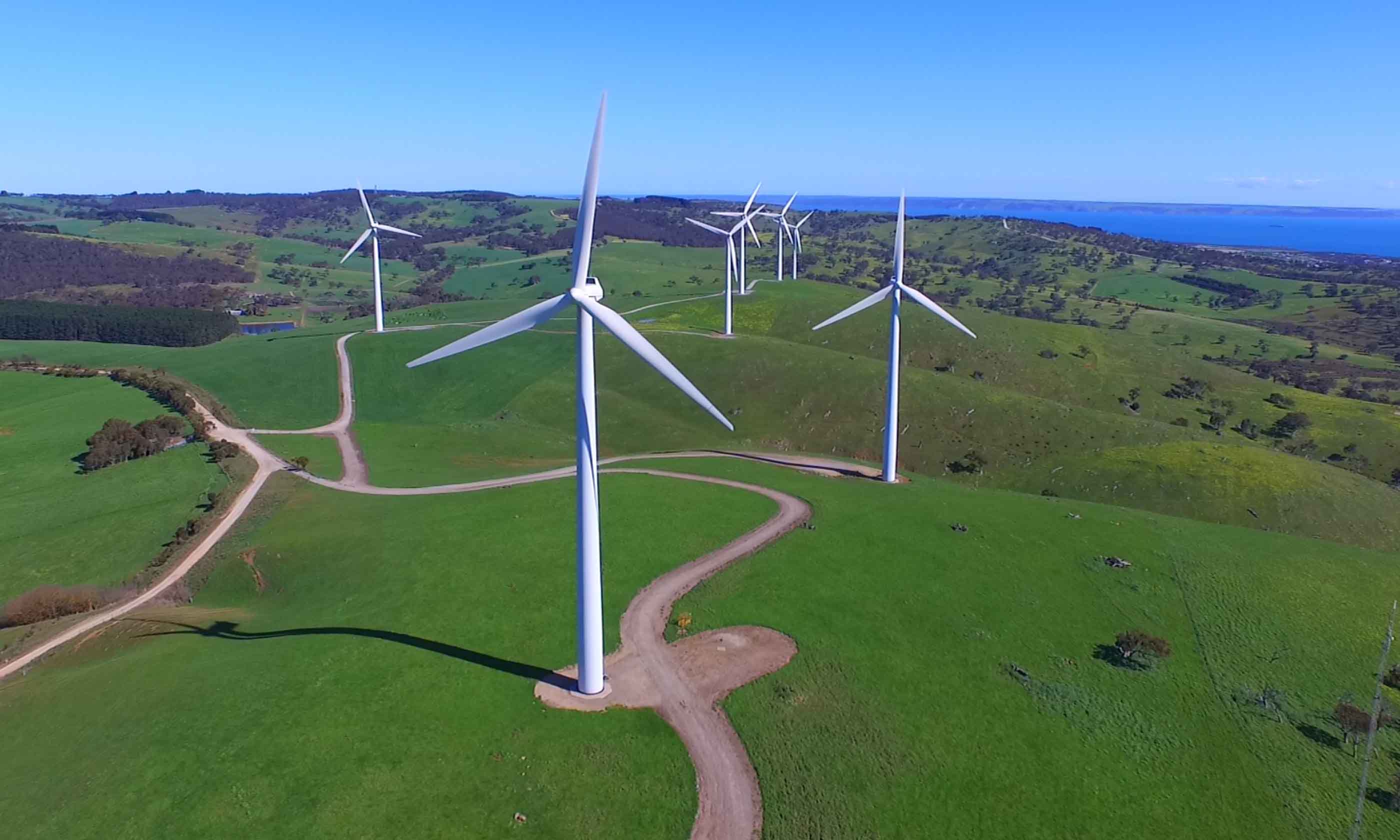
Sustainable mine closure and rehabilitation has  improved with the use of drones. Drones collect accurate high-resolution data quickly, and improve safety by inspecting hazardous and remote areas. Drones also streamline planning, mapping, and vegetation monitoring. By using drones, we can make mine closure efforts more efficient, informed, and environmentally responsible. 

  • Shaun Chambers

    As an environmental engineer, Shaun works with mine closure and remediation projects. Currently, he’s working with the contaminated site closure team at an Australian diamond mine—helping to restore and prepare the land for Traditional Owners.

    Contact Shaun
  • Kieran Brocx

    As an environmental scientist and remotely piloted aircraft system (RPAS) pilot, Kieran completes field investigations and desktop research in natural and contaminated study areas in mining, defence, terrestrial, and coastal settings in Australia.

    Contact Kieran
  • Amy Steiger

    As GIS team leader, Amy coordinates spatial analysts working with mapping products, spatial data management, web platforms, and analysis and field apps across infrastructure, transport, and environmental services—and oversees our drone program.

    Contact Amy
  • David James

    David provides environmental engineering services for mine closure and remediation projects, often in remote locations. He strongly supports consultation with traditional owners on these projects.

    Contact David
End of main content
To top