At a Glance
-
19
WRIAs To Date
- Location
- Midwestern United States
- Offices
-
-
Client
-
-
US Fish and Wildlife Service
-
- Location
- Midwestern United States
- Offices
- Client
-
- US Fish and Wildlife Service
Share
USFWS Water Resource Inventory and Assessments
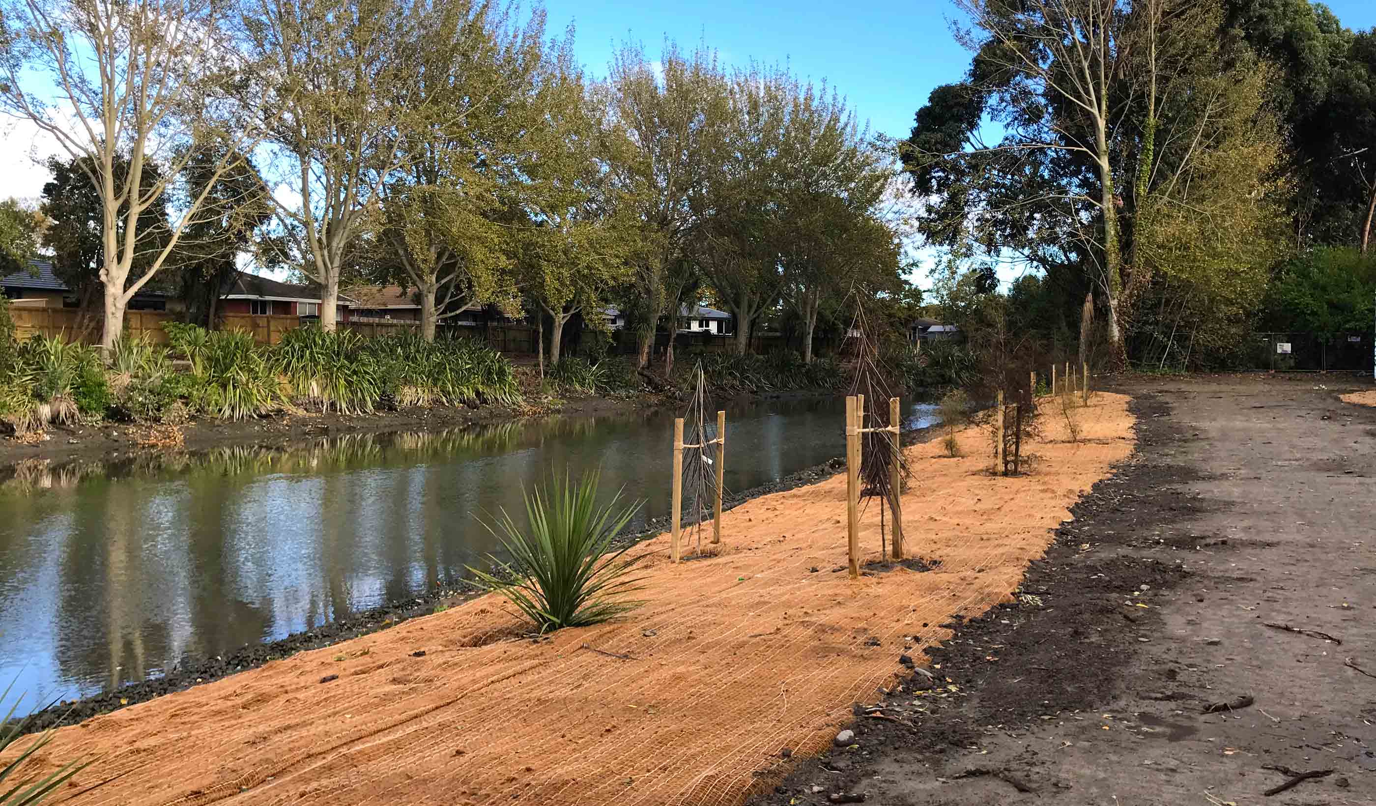
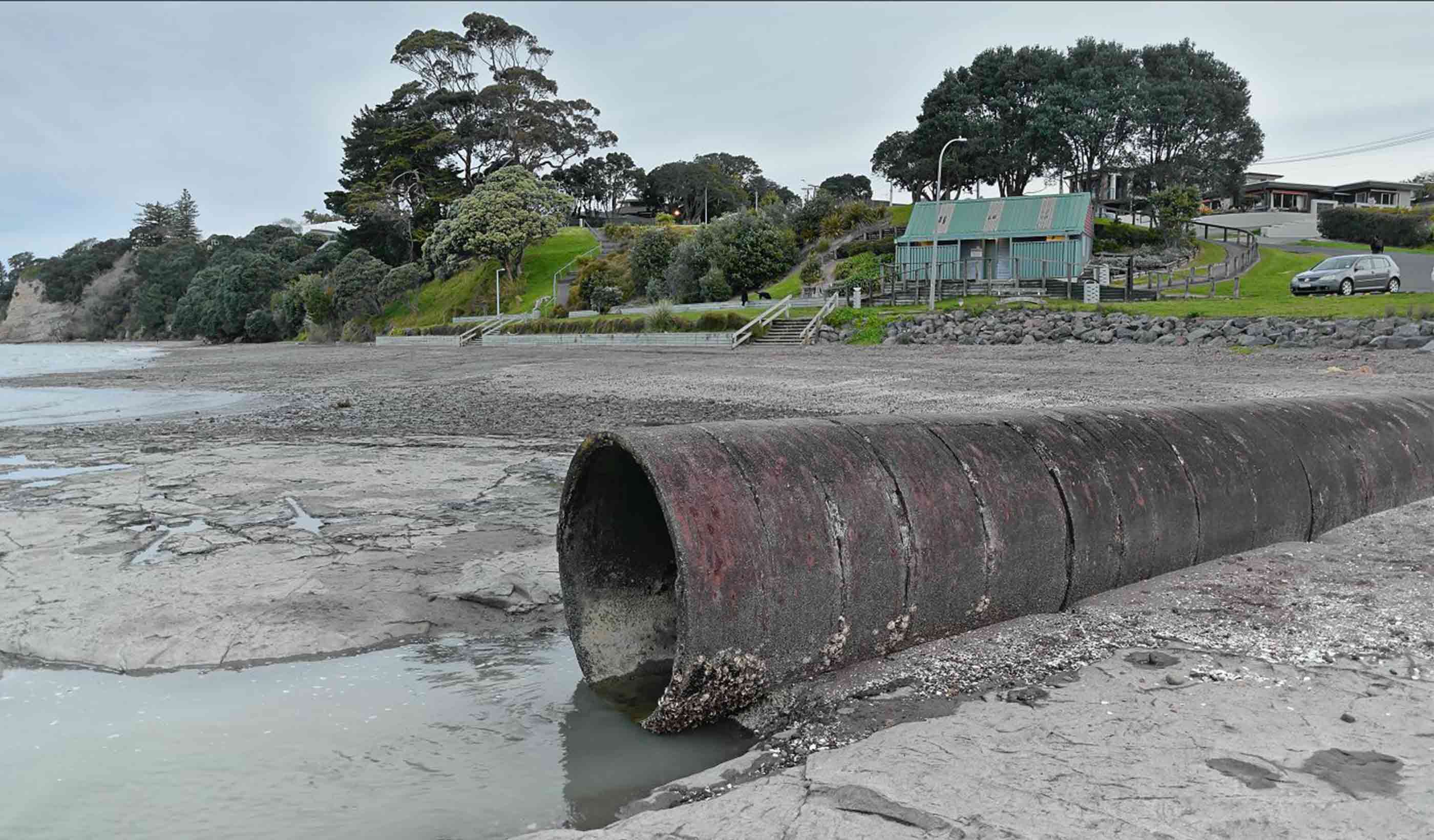
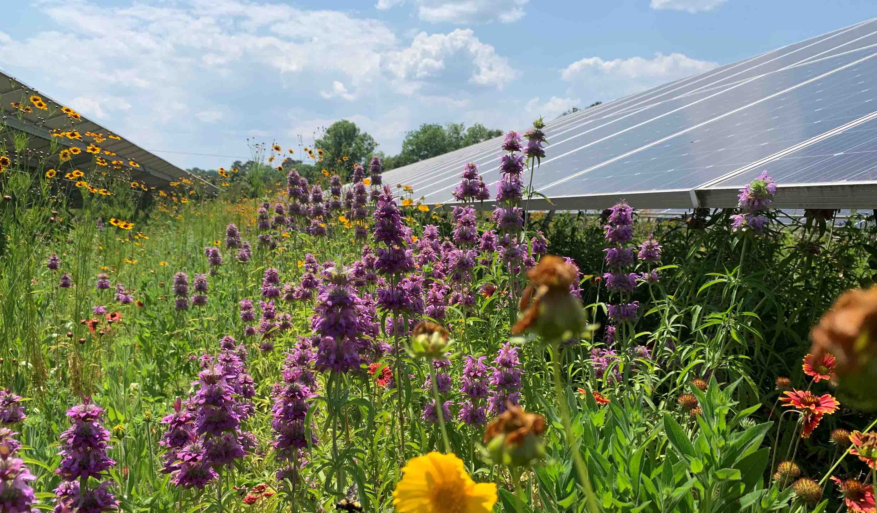
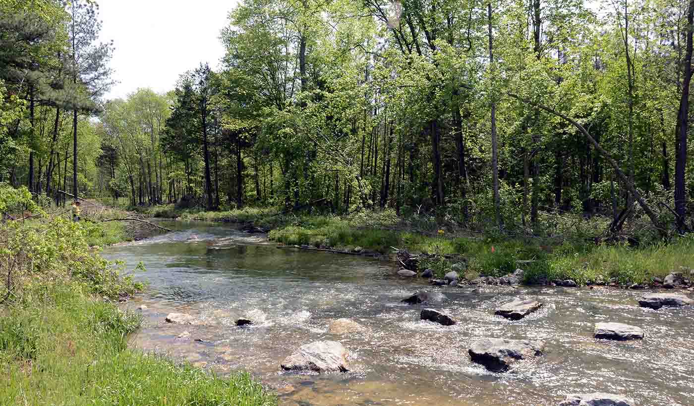
The National Wildlife Refuge (NWR) system has over 500 refuge areas that provide native habitat for protected species across the United States. The US Fish and Wildlife Service (USFWS) manages these areas and needed to conduct Water Resource Inventory and Assessments (WRIAs) to detail important water resource information. They engaged our environmental service professionals to conduct necessary WRIAs.
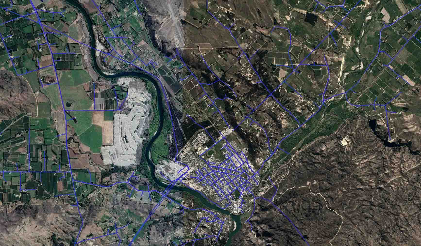
To gather required information, we locate, inventory, and organize relevant water resource data and generate maps and figures needed for WRIA documents. Our environmental experts provide written summaries of the inventoried data, while our team of GIS experts utilize geospatial data to create maps of inventoried water resource features. These maps may include boundaries of refuge area and surrounding natural areas, topography LiDAR data, waterways and hydrography datasets, monitoring stations, and impaired waters near each refuge.
Between 2017 and 2022, we completed WRIAs for 19 NWRs in the Midwest. The USFWS uses the WRIAs to better understand current state of water resources and determine future management practices to keep these national refuges protected.
At a Glance
-
19
WRIAs To Date
- Location
- Midwestern United States
- Offices
-
-
Client
-
-
US Fish and Wildlife Service
-
- Location
- Midwestern United States
- Offices
- Client
-
- US Fish and Wildlife Service
Share
Heather Schwar, Associate, Technical Discipline Leader, Water Resources (US)
I believe that technical excellence and effective communication are imperative for a successful, long-term project.
We’re better together
-
Become a client
Partner with us today to change how tomorrow looks. You’re exactly what’s needed to help us make it happen in your community.
-
Design your career
Work with passionate people who are experts in their field. Our teams love what they do and are driven by how their work makes an impact on the communities they serve.


