- Location
- Ontario & Quebec
- Offices
-
- Location
- Ontario & Quebec
- Offices
Share
Satellite Image Assessment for Potential Contamination at Sites
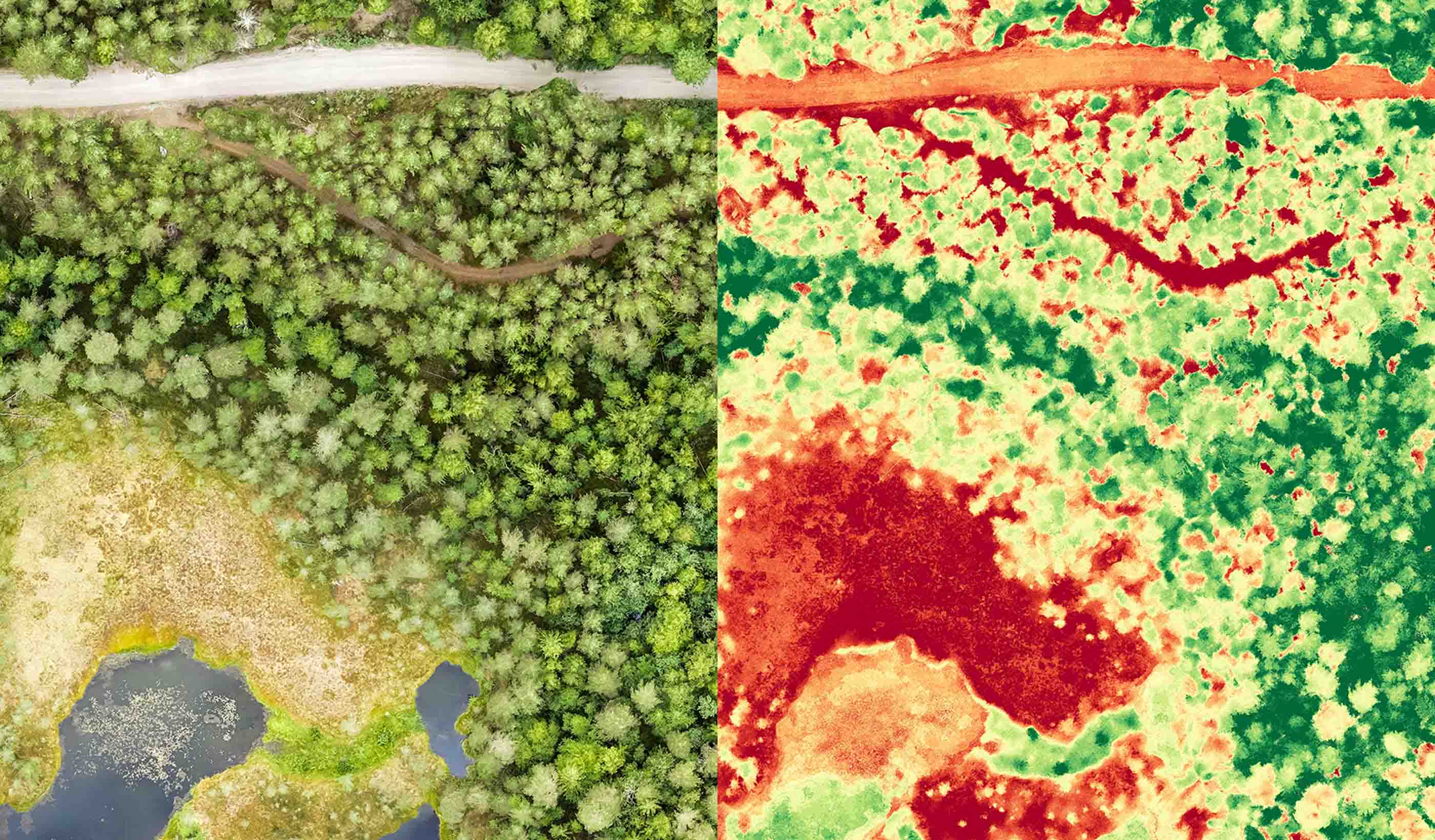
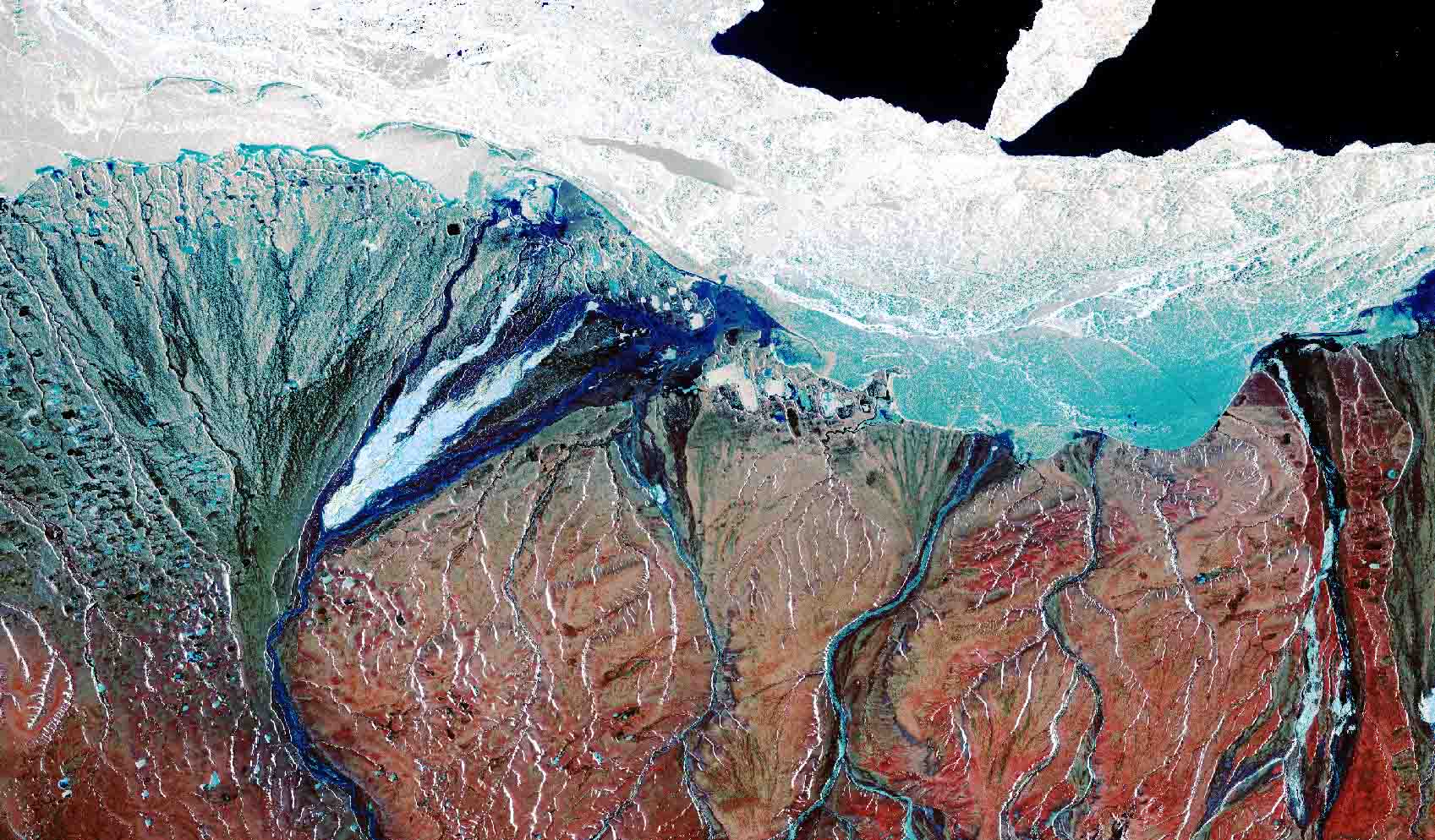
Our client was interested to see if satellite imagery would effectively evaluate residual environmental impacts associated with historic release events in Ontario and Quebec. Stantec’s remote-sensing PipeWATCH service was an excellent match, as we could look at signs of vegetative stress by examining biophysical absorption and reflection rates of electromagnetic energy.
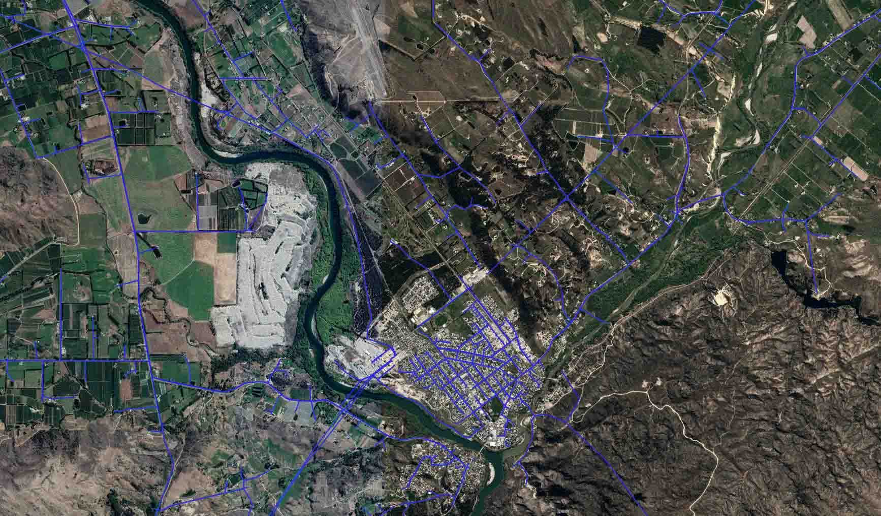
The client requested we include a historical satellite imagery assessment for the identification and assessment of the environmental conditions at multiple legacy spill site locations. We then employed our PipeWATCH methodology including data analysis, change detection analysis, and vegetation health signatures in a two-staged approach. First, we completed a satellite imagery assessment of a 50-km section of pipeline. Second, the team completed a pilot satellite imagery assessment of selected spill sites.
We delivered quantitative evidence of spill sites that have recovered and spill sites that have not fully recovered. Our client was pleased to receive this statistical evidence in a more safe and cost-effective way. They are now focusing their resources on recovering release locations that need assistance.
- Location
- Ontario & Quebec
- Offices
-
- Location
- Ontario & Quebec
- Offices
Share
Grant Wiseman, Remote Sensing Technology Manager
Success in consulting means communicating new ideas to clients, demonstrating the benefits of technology in a clear and concise way.
We’re better together
-
Become a client
Partner with us today to change how tomorrow looks. You’re exactly what’s needed to help us make it happen in your community.
-
Design your career
Work with passionate people who are experts in their field. Our teams love what they do and are driven by how their work makes an impact on the communities they serve.


