Reality Capture
Bridging the gap between the physical and digital worlds
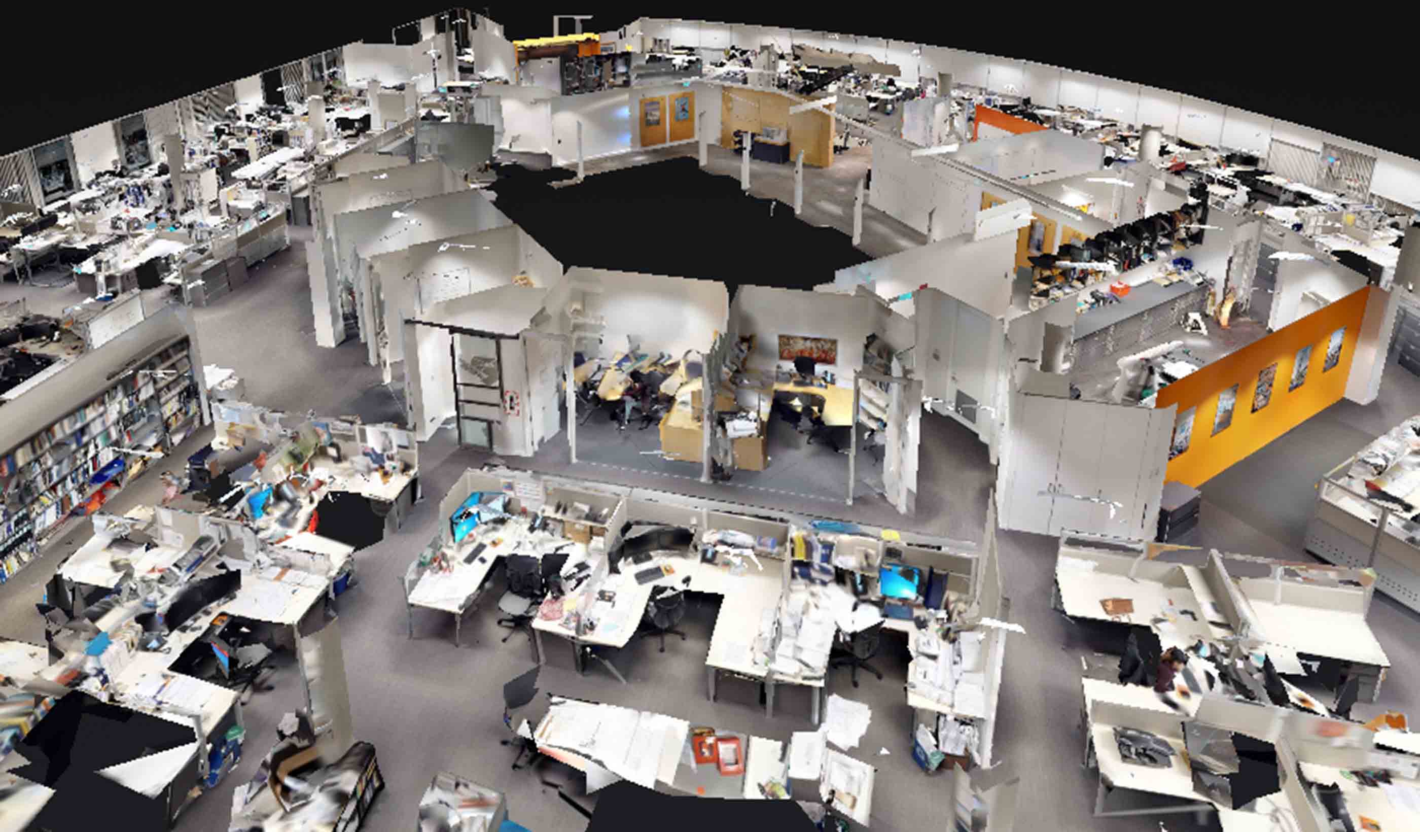
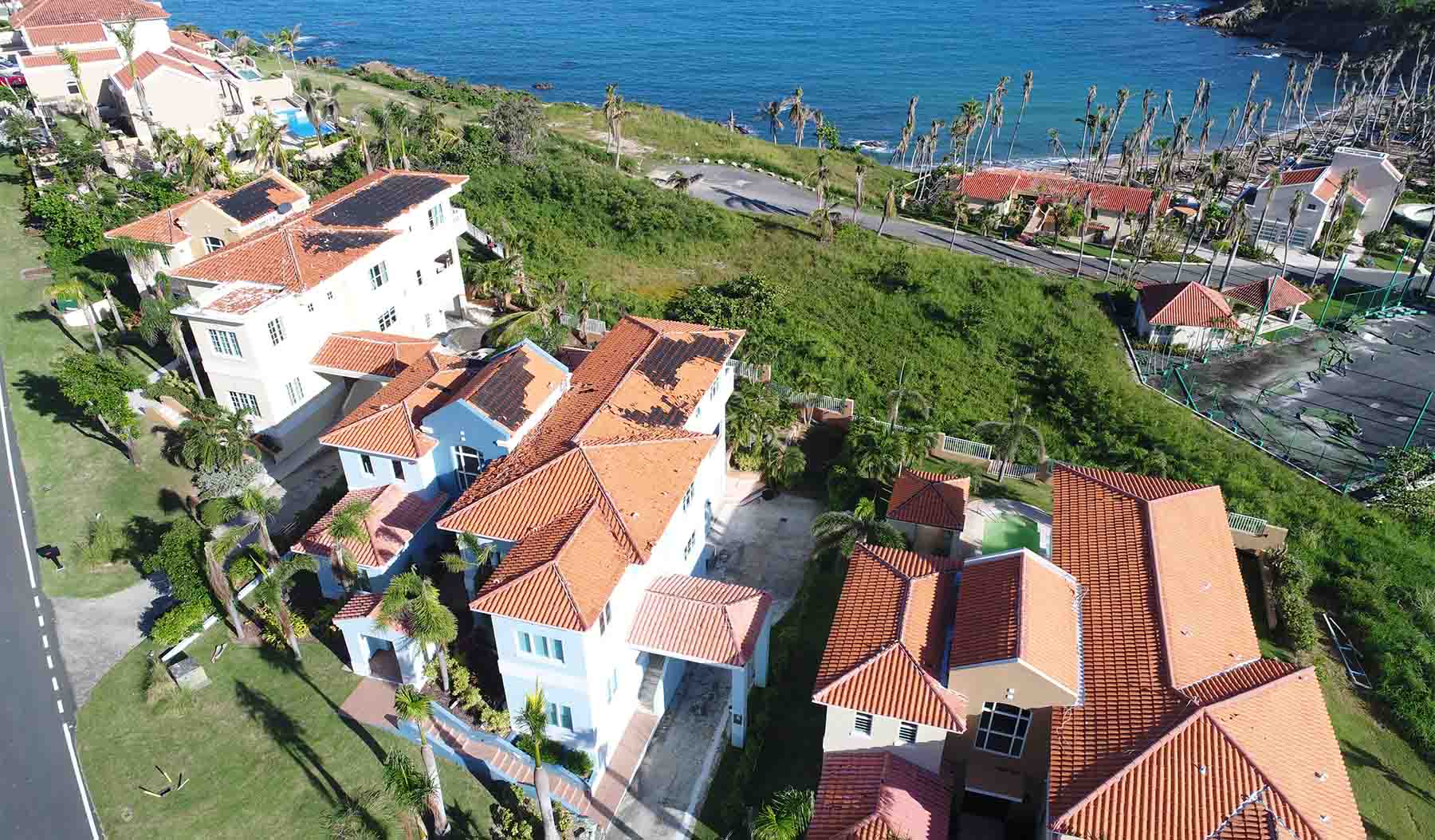
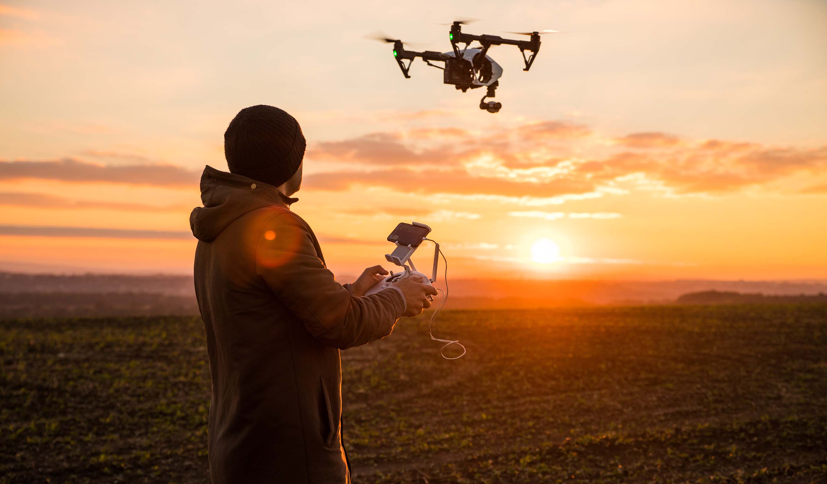
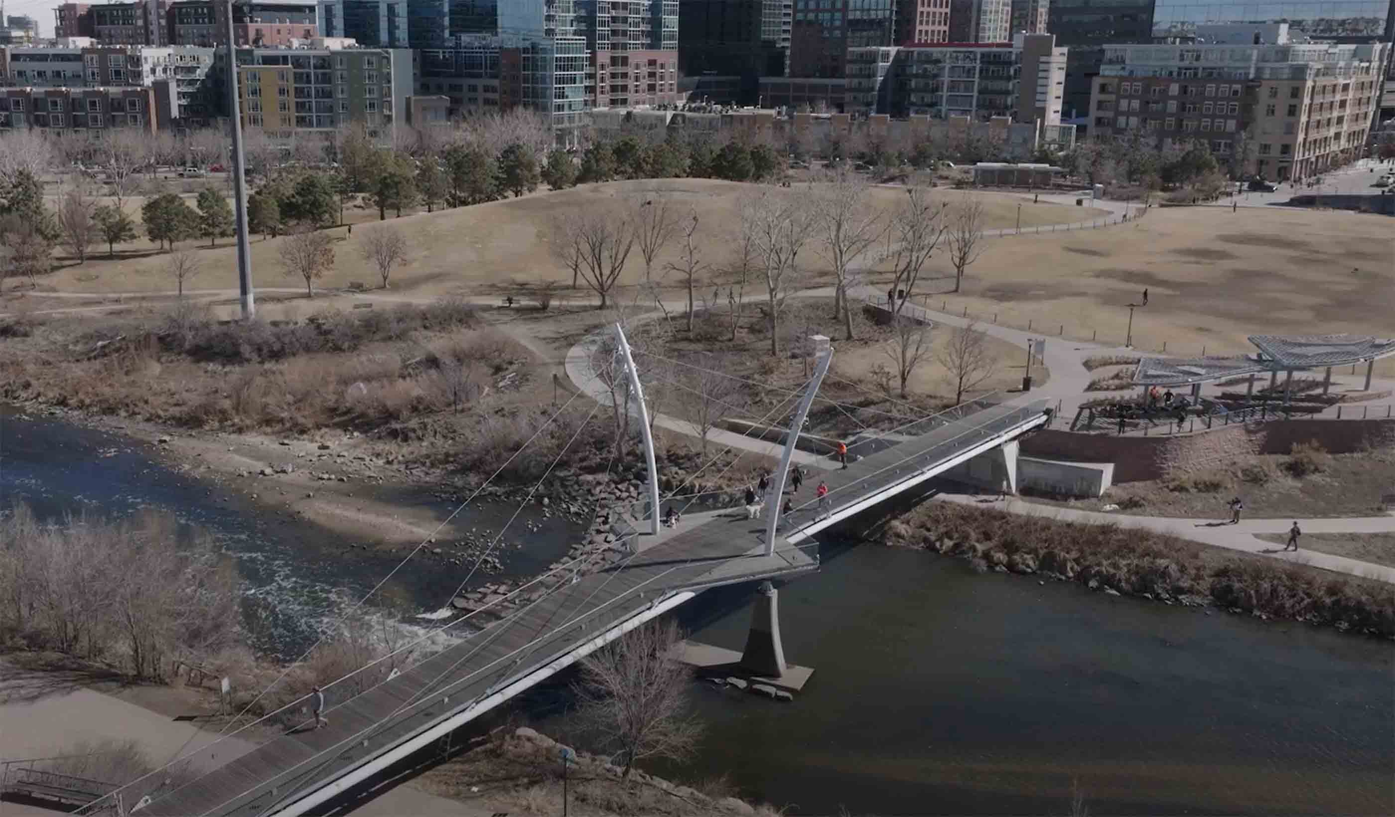
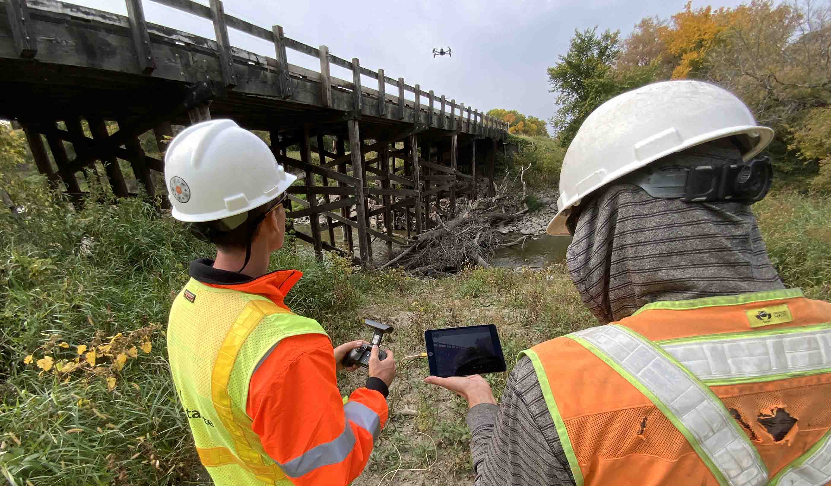
Using advanced tools like 3D scanning, photogrammetry, LiDAR, and drone imaging, reality capture allows for precise, high-resolution documentation of real-world environments. This data is then processed into “digital twins”—digital replicas of physical spaces and objects. These digital twins empower people to make data-driven decisions, streamlining workflows, reducing costs, and enabling virtual exploration and analysis of complex spaces and infrastructure.
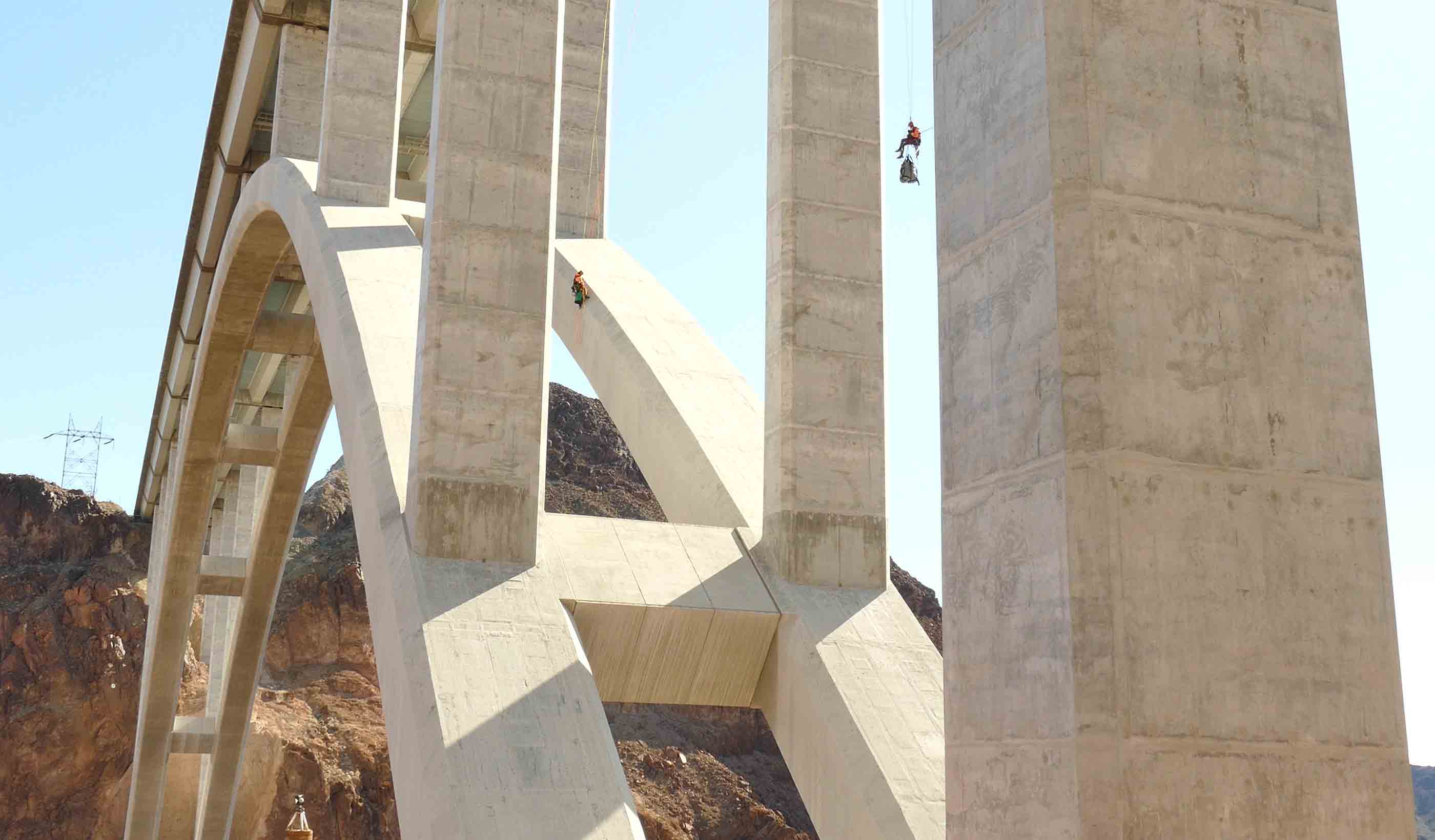
Leveraging machine learning and augmented intelligence, we enable a more predictive and preventative approach to infrastructure management. With these technologies, we can help you identify subtle changes—such as cracks, spalling, and other structural concerns—and assess the level of potential risk.
This proactive analysis allows teams to document issues, compare them across recurring surveys, and develop targeted maintenance and mitigation strategies before small problems become costly repairs.
Joshua Sexton, Reality Capture Technology Manager
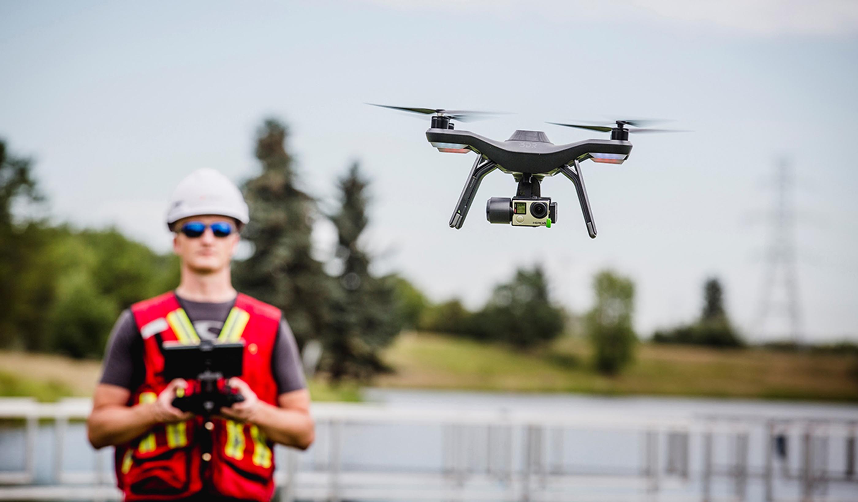
Unmanned aerial system platforms offer our clients efficiencies in precision, visual intelligence, cost savings, and accelerated schedules.
Alex Amies, Geomatics Engineer
Geospatial has never been as exciting or accessible as it is today. My advice? Stay true to core principles of data quality and reliability.
Michael Marshall, Senior Associate, Bridge Engineer
I love integrating state-of-the-art technology into inspection work—it elevates the ability to keep our communities safe and clients happy.
Raymond F. Dennis III, Principal, Senior Project Manager
We understand site suitability and seagrass ecology, which leads to successful outcomes for our coastal habitat restoration projects.
Amy Steiger, Geospatial Discipline Lead, ANZ
Spatial science and digital technology is expanding at a rapid pace, and I love how we can use this knowledge to improve project outcomes.
We’re better together
-
Become a client
Partner with us today to change how tomorrow looks. You’re exactly what’s needed to help us make it happen in your community.
-
Design your career
Work with passionate people who are experts in their field. Our teams love what they do and are driven by how their work makes an impact on the communities they serve.
